A Walberswick Walk with CITiZAN
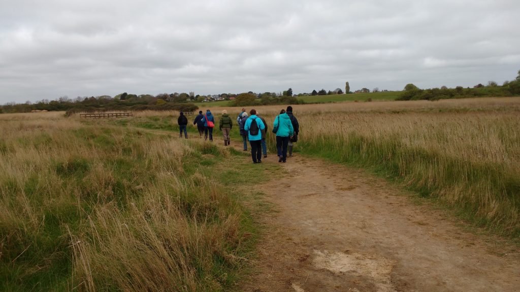
On a blustery early May day a group of us set out along the beach from Walberswick with Lara Band of CITiZAN to see what remains of the coastal archaeology around the village.and to learn how to use the CITiZAN app to find out about and record what’s there. By its very nature a lot of intertidal archaeology is, well, intertidal and therefore submerged a lot of the time, but there was still plenty to see and talk about.
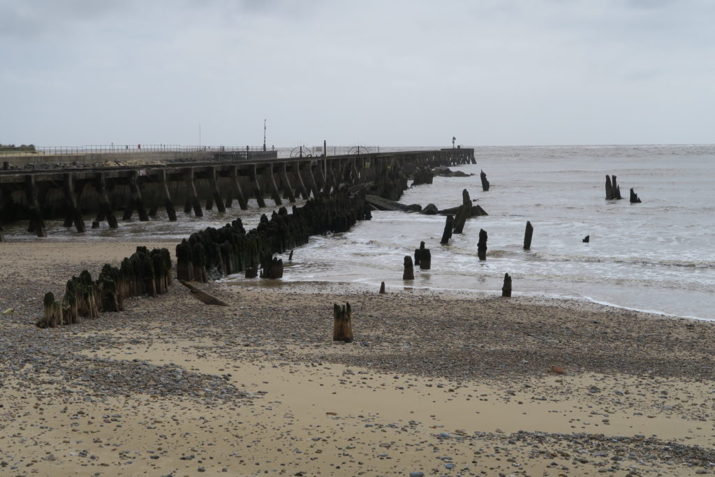
As we crossed onto the beach, the first and most obvious things to see were the the remains of a wooden pier running out to sea at an angle to the existing pier head and the line of concrete blocks which formed part of the Second World War defences against a threatened German invasion.
The timbers, nicely described on the Suffolk Historic Environment Record as Foul Area, are most likely the remains of the old south pier. They are just about visible on the 1945 RAF aerial photography which is accessible using the time slider on Google Earth.
The concrete blocks, designed to stop invading tanks getting off the beach, were part of a larger complex of Second World War defences around Walberswick which we discovered as we continued our walk. More later.
Lara pointed out a number of find spots along the beach, all marked on the CITiZAN map, including a Mesolithic antler mattock and a pottery kiln and dangled the possibility of more being visible at the spring tides, particularly with an offshore wind.
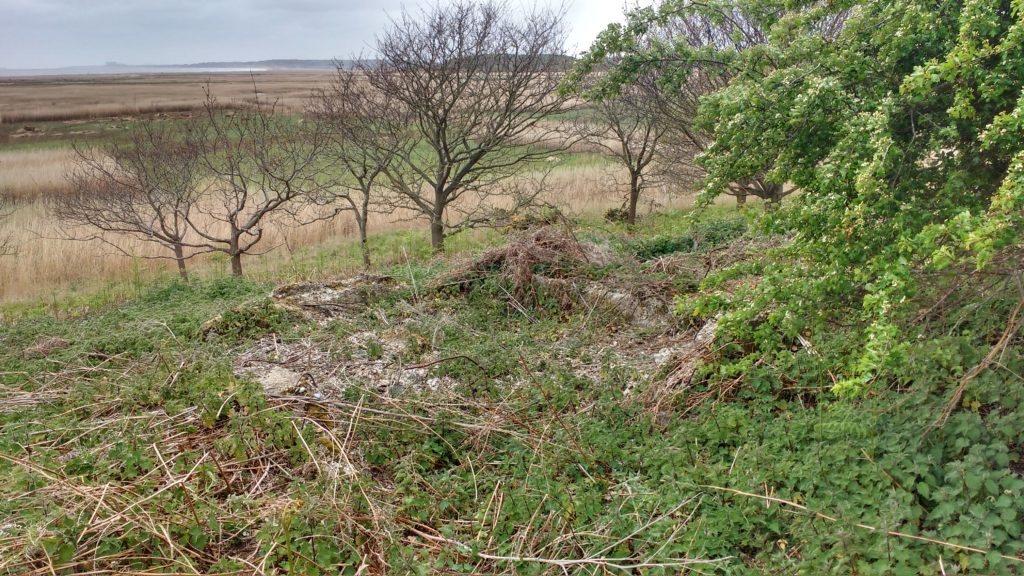
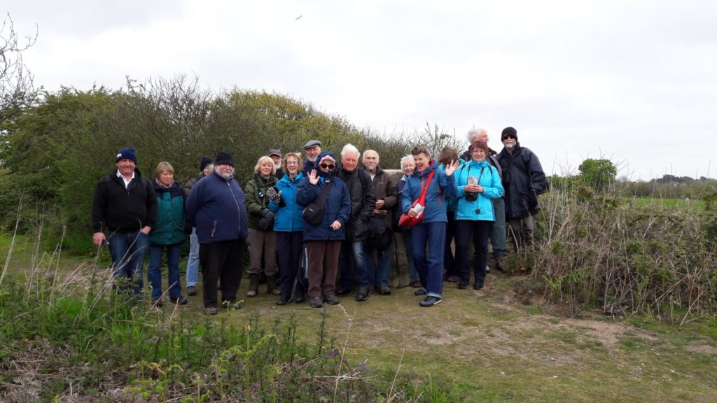
As we moved inland again, we passed the site of the old town of Walberswick and its church, now all gone, and on to more Second World War concrete, this time a forward observation post (just visible behind or happy smiling group) and associated buildings, including possibly the remains of a Suffolk square pillbox, for a battery of four 6″ howitzers further inland as well, later on, as an anti-aircraft battery against V1 attacks from 1944 until the end of the war. To those of us who get slightly excited at the sight of crumbling and broken concrete, watch this space. We may return.
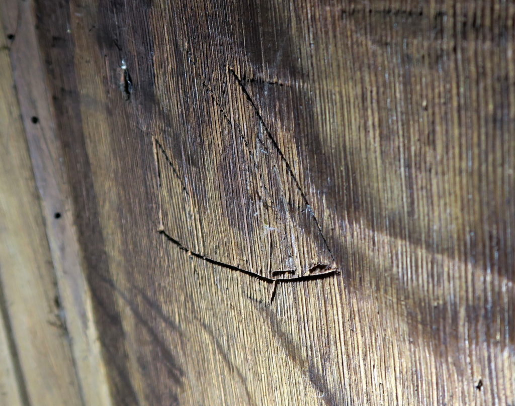
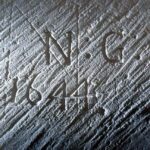
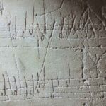
 Walking back into the village, our penultimate stop was St Andrew’s church, a largely late C17 church built within what remains of the original much larger C15 building. We found some shoe graffiti on the porch benches and some ritual protection marks on the south door itself. We also found on the back of the rood screen and partially hidden from sight a graffito of a boat looking very much like an east coast smack, which would have been a common sight here in the C19 and early C20.
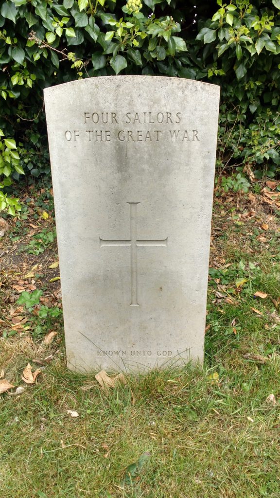
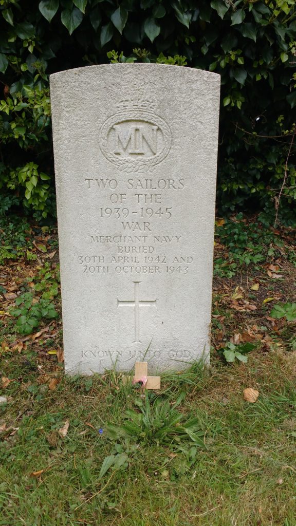
St Andrew’s churchyard contains a number of Commonwealth War Graves Commission graves, among them poignantly, and not uncommon in seaside churchyards, two headstones to sailors “Known unto God”
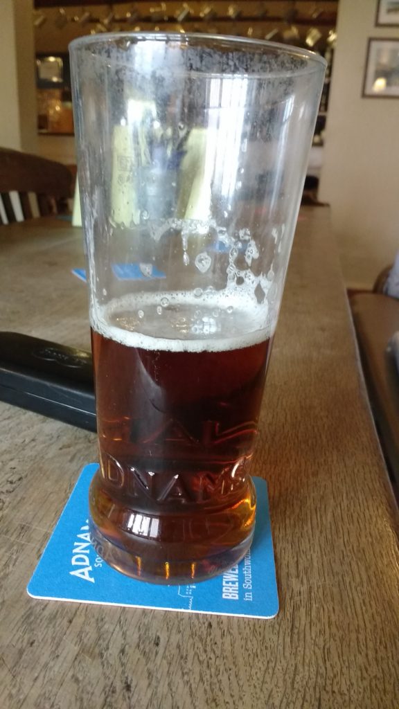
Our last stop for a Q&A session and general catch-up and relax was inevitably the Bell, and why not?
Thanks to all who came along, and a big thank you to Lara Band of CITiZAN for showing us the way.

Hi
I wasn’t able to come on this walk and wondered if the route would be available from any one or anywhere please?
Thanks
Hi,
We’ll be back at Walberswick in January, more detaisl here http://waveneyarchaeology.org/diary/walberswick-war-walk-with-rob-liddiard/
Best wishes
Andrew Macdonald